Road Geometry
Extremely cost-effective option for collecting geometry data
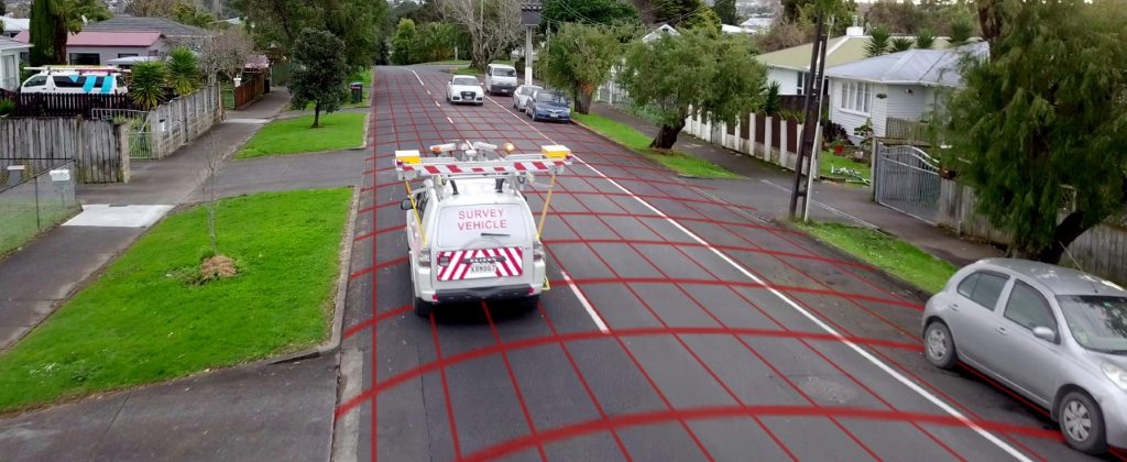
ROMDAS Road Geometry module is an extremely cost-effective unit, used to calculate and record pavement gradient, radius of curvature, cross-fall and other road geometry characteristics.
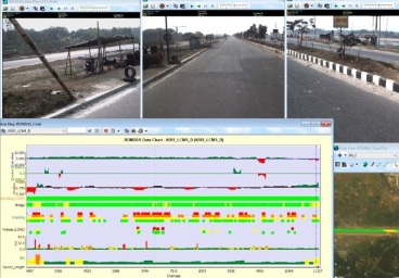
The unit uses an integrated GPS and MEMS Internal Measurement Unit (IMU) with a navigation, attitude and heading reference system processor. This combination provides accurate and reliable highway geometry data. The internal low-power signal processor runs a real-time Kalman filter providing inertial enhanced 3D position and velocity estimates.
Easy to install and setup, this Geometry module can be integrated into a ROMDAS System within an hour. A real-time output of vehicle Pitch, Roll and Yaw is displayed in the ROMDAS Data Acquisition Software during the survey. The software does not require any operator interaction during data collection.
All data is referenced with GPS coordinates for easy integration with most commonly used GIS mapping software or Pavement Management Systems (PMS).
Key Benefits & Features
- Light weight and easy to install
- No operator input required during surveys
- High update rate of 100Hz
- Built-in test (BIT) feature
- GPS antenna fault detection
- Efficient and economical option for collecting network level geometry data
- Individually calibrated for temperature, 3D misalignment and sensor cross-sensitivity
- External active antenna status detection circuit
Data outputs
- Gradient
- Radius of Curvature
- Cross-fall

